Equipment and Facilities
Research Vessel Kalypso
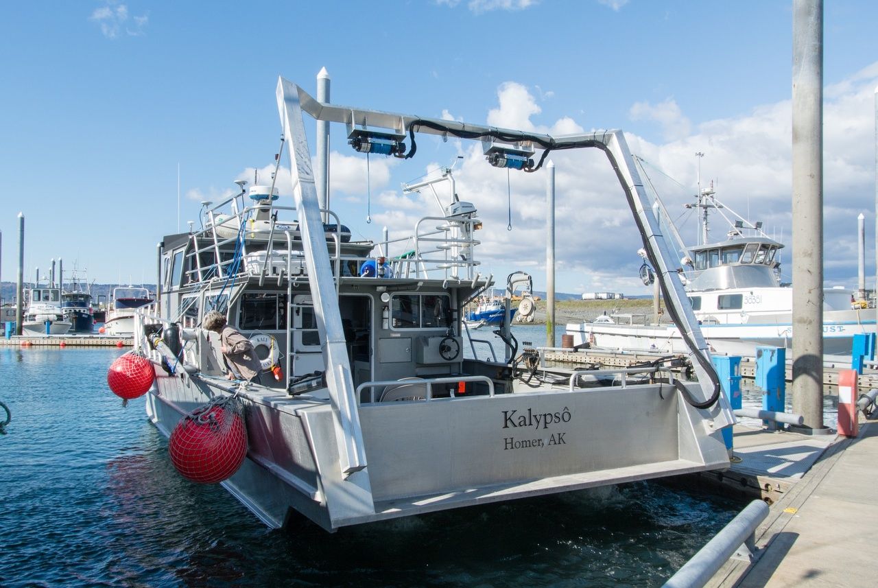
The R/V Kalypso has been outfitted especially for geophysical data acquisition. She is a 48-foot x 15-foot aluminum hulled catamaran, with a weight of 20-tons. She has a 10-foot hydraulically operated A-frame with two hydraulic winches to deploy and recover equipment. Basic equipment includes: two engines, two generators, built-in compressor mounts, custom cabinetry to support survey operations and integrated multi-beam sonar mount.
The R/V Kalypso's home port is Homer, Alaska.
WCI owns and operates the most comprehensive inventory of high-resolution marine geophysical equipment in Alaska. The equipment includes a large selection of sub-bottom sources, compressors, multiple streamers, high frequency subbottom profilers, intermediate seismic profilers, multiple sonars including the Reson T20 multi beam. See photos below.
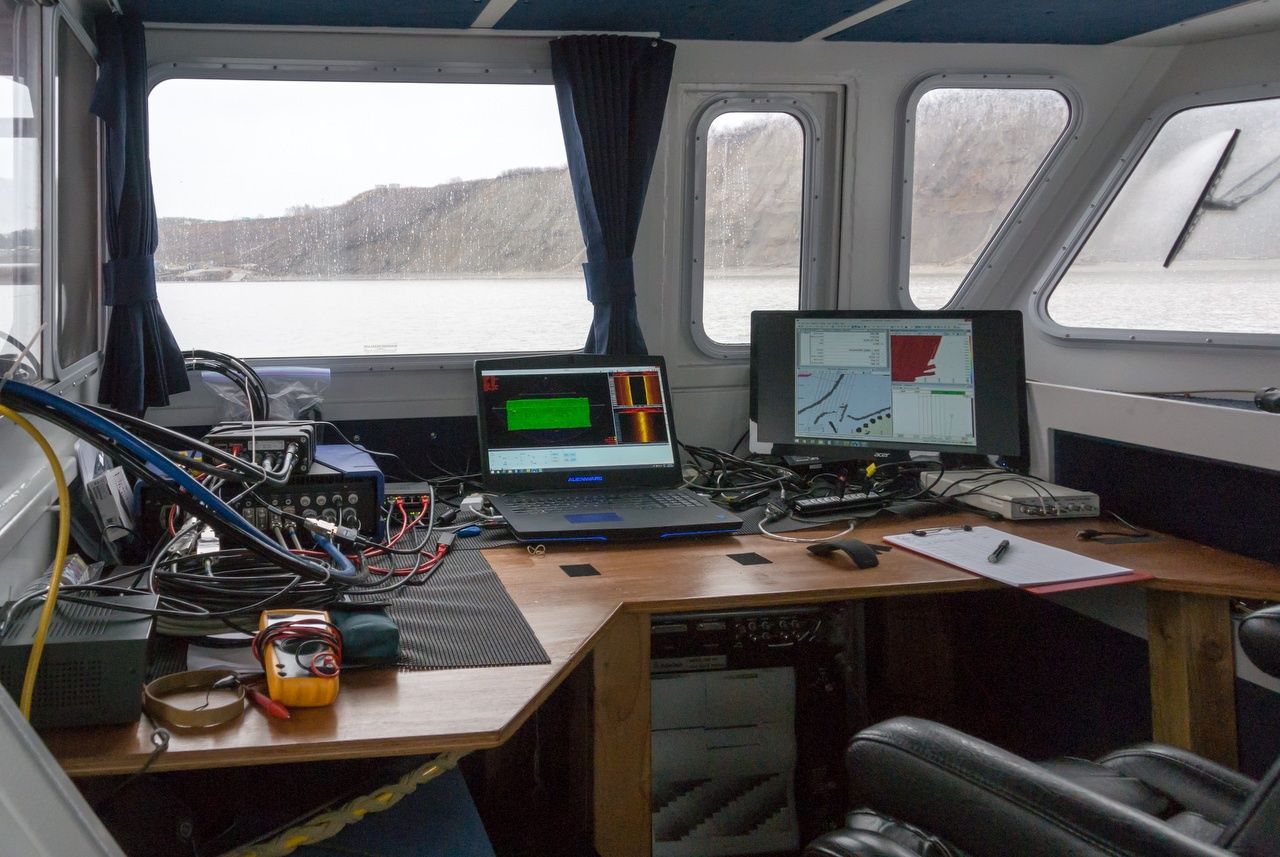
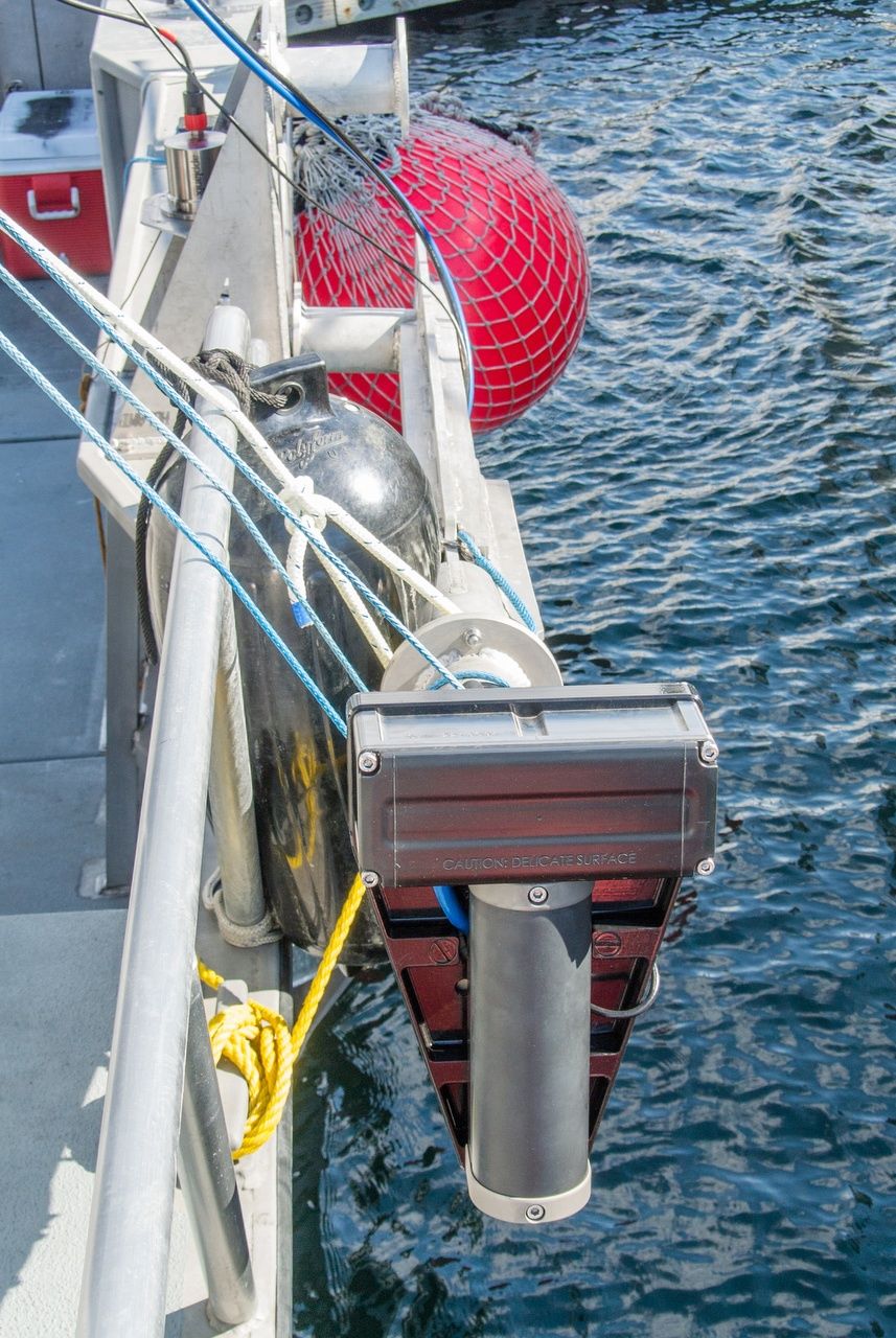
Multi-beam data acquisition on WCI vessel R/V Kalypso
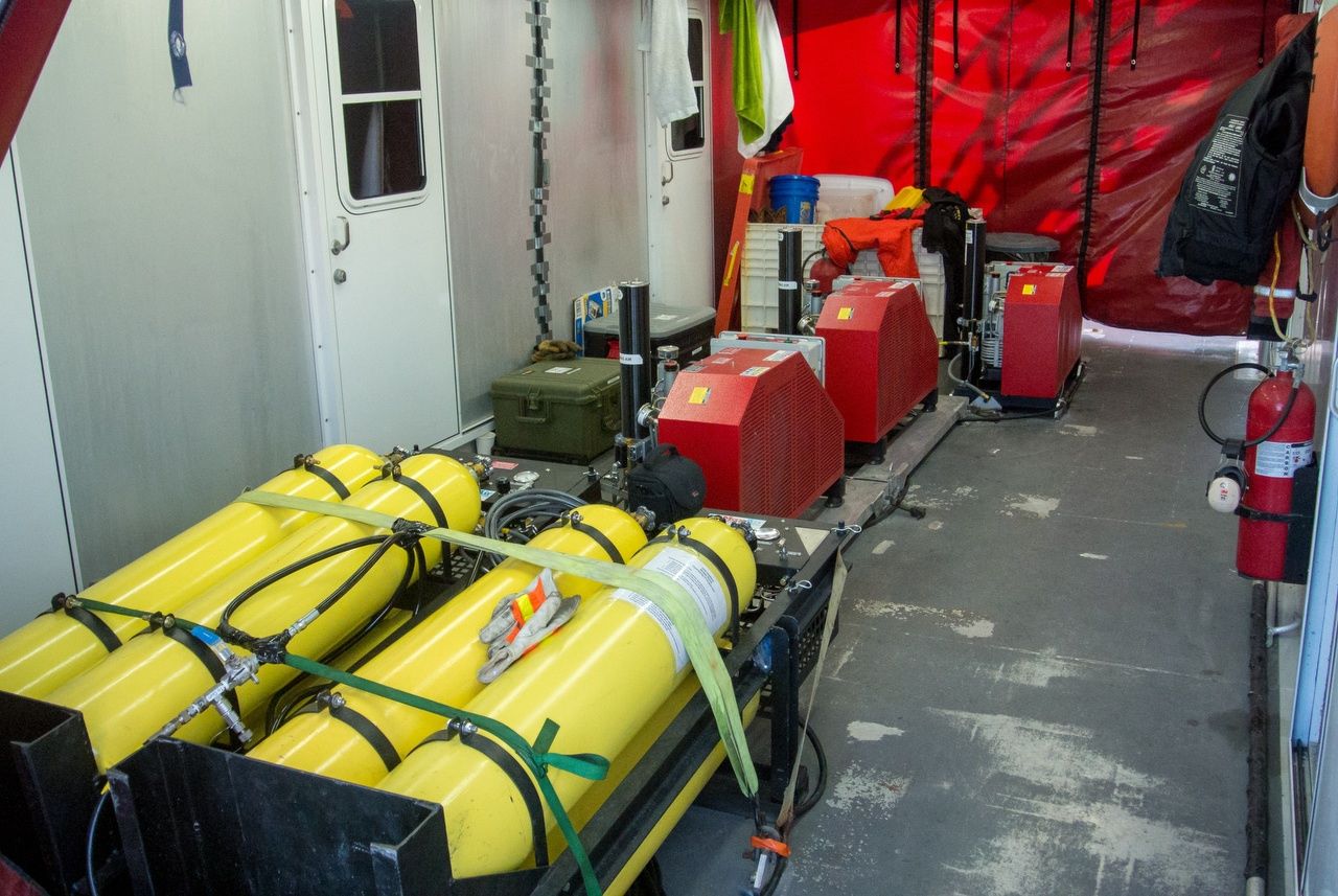
Compressors and air storage for WCI Ultra-High-Resolution CDP Seismic System
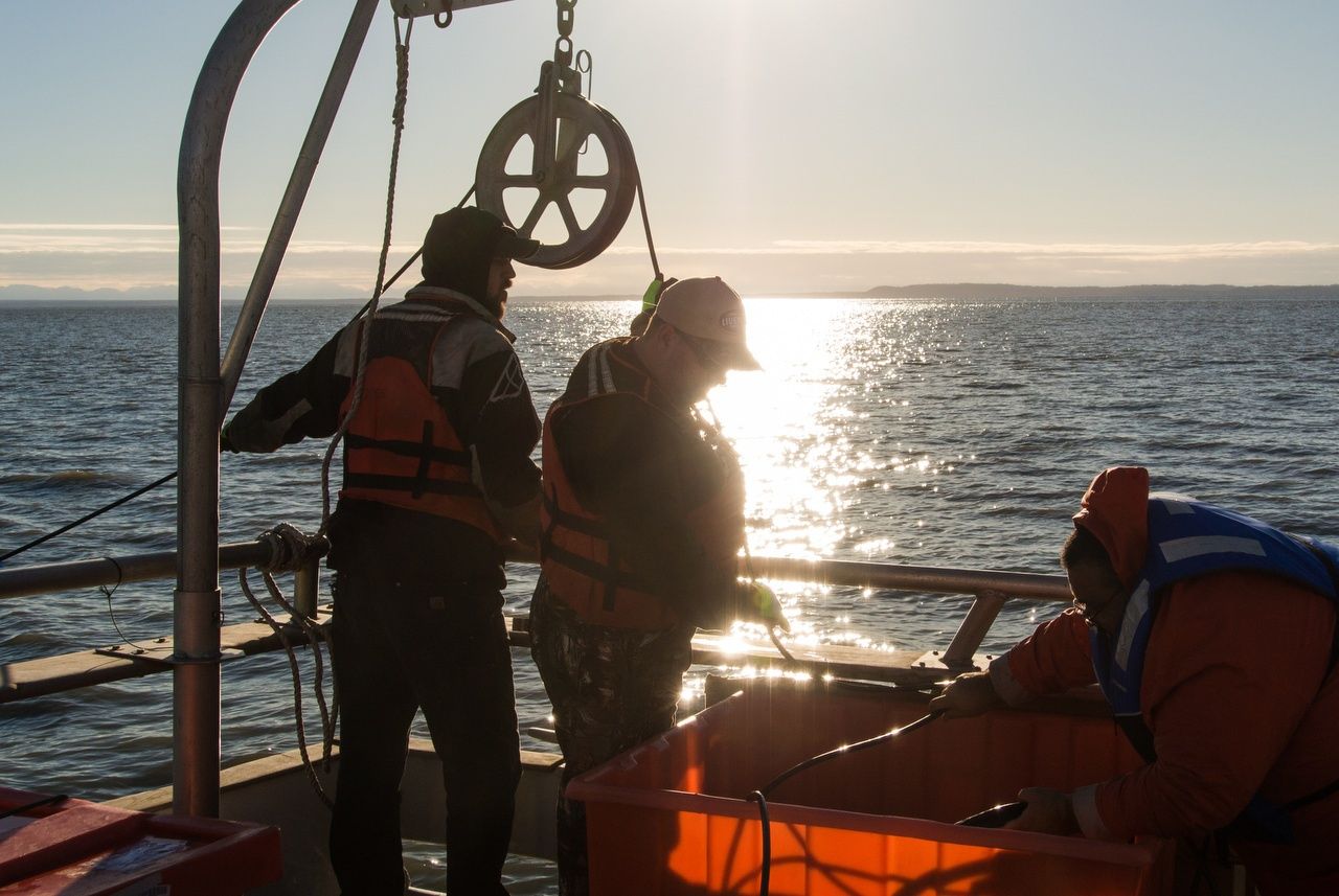
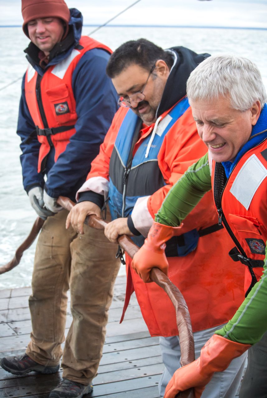
Deployment of low-noise multic-channel solid state streamer
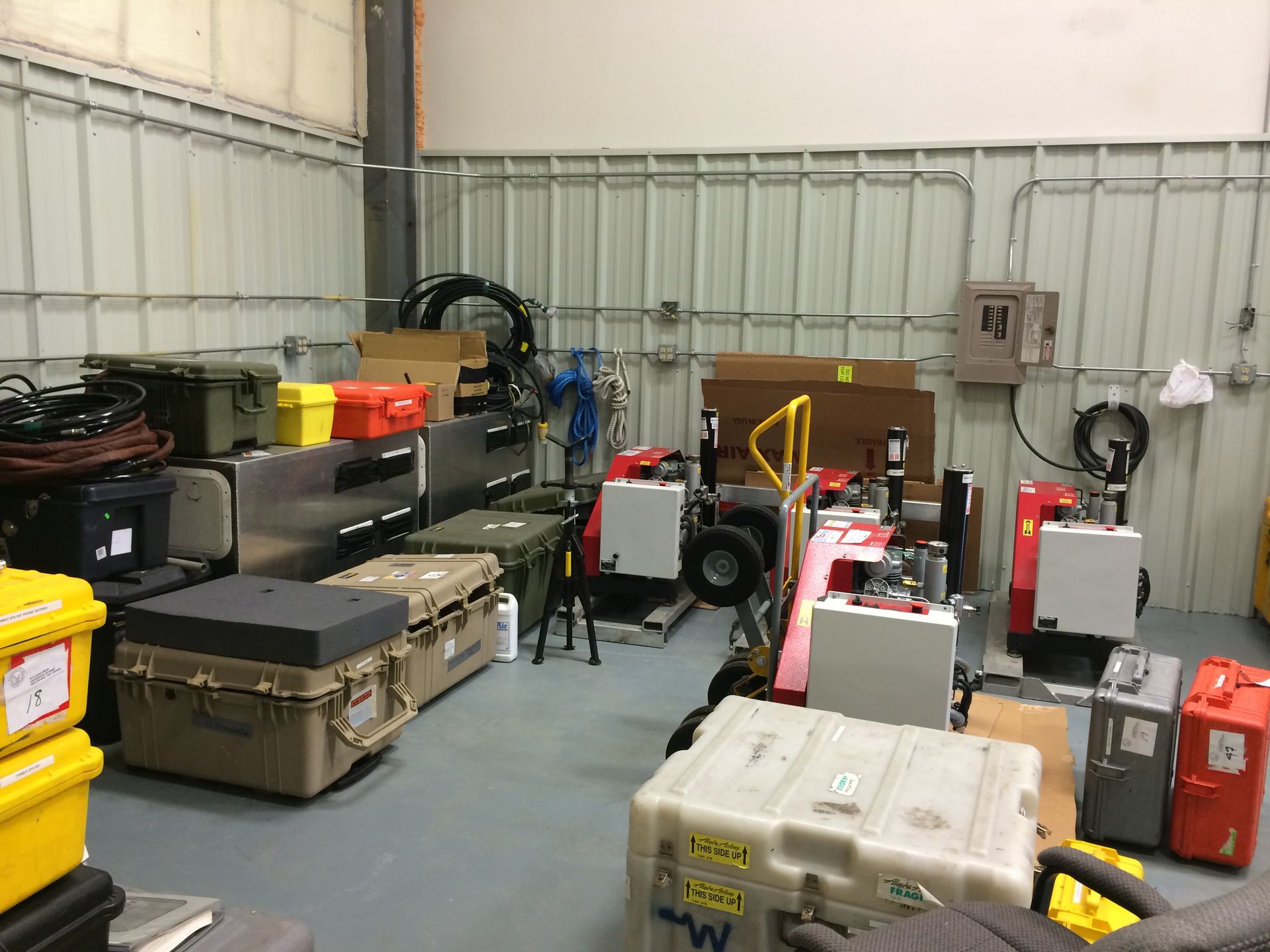
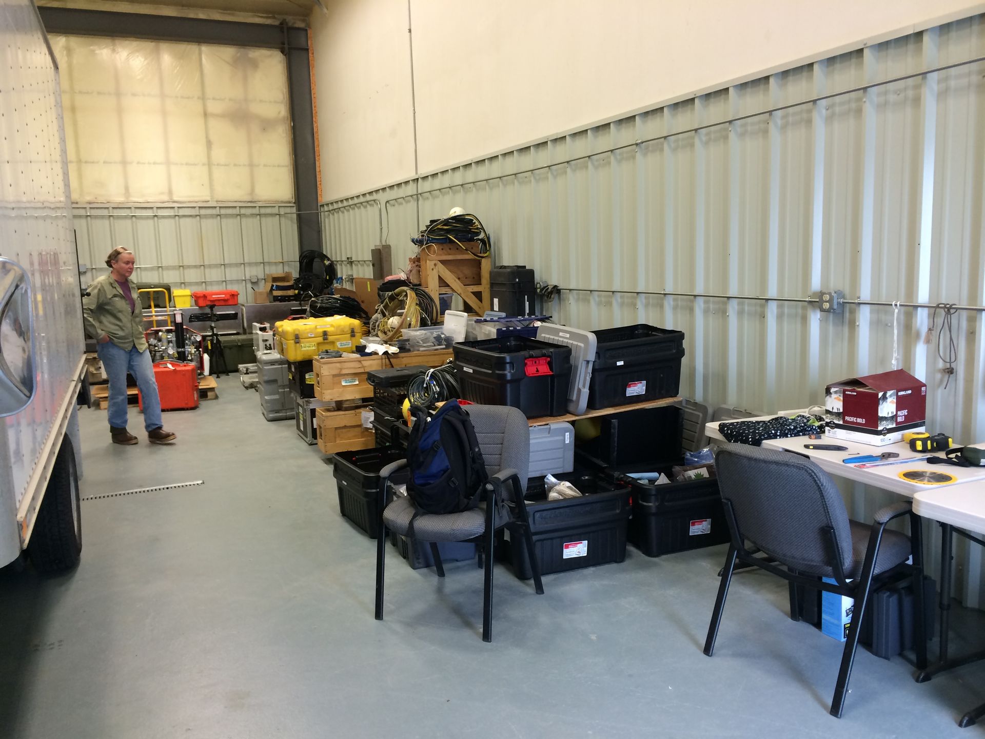
WCI Geophysical Equipment
WCI has an Anchorage office where the majority of data processing and analysis are conducted. Plotters, computers and advanced mapping capabilities allow us to prepare charts and reports. We own and operate equipment including side scan sonars, subbottom profilers and multi-beam bathymetric sonar. The Anchorage facility has an electronics shop to build prototypes and repair equipment.
William D. Watson
William D. Watson has 40 years of field experience in the execution of geophysical, oceanographic and hydrographic programs in the Arctic and Sub-Arctic areas of Alaska, from the Beaufort Sea to the Gulf of Alaska. He has managed more than 100 projects since he started Watson Company in 1985; and is responsible for Watson Company field programs and assists clients with permitting. Mr. Watson's professional area of expertise is marine geophysical data acquisition and large scale project management. He has decades of experience with state of the art sonar, seismic systems, and image processing techniques. He also processes and interprets seismic data. Mr. Watson’s field and data integration experience has lead to the successful development of new technologies in marine geophysics, including the Watson Forward Looking Sonar (WFLS) and Watson Geophysical Mapping System (WGMS).

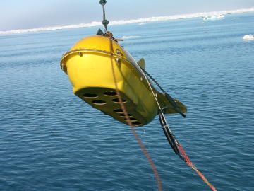
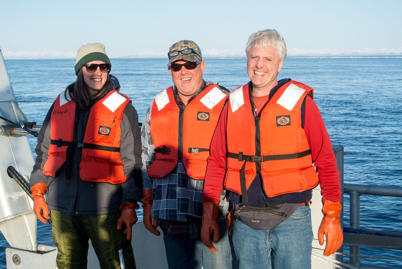
Subsea Deployment during Upper Cook Inlet Acquisition Program